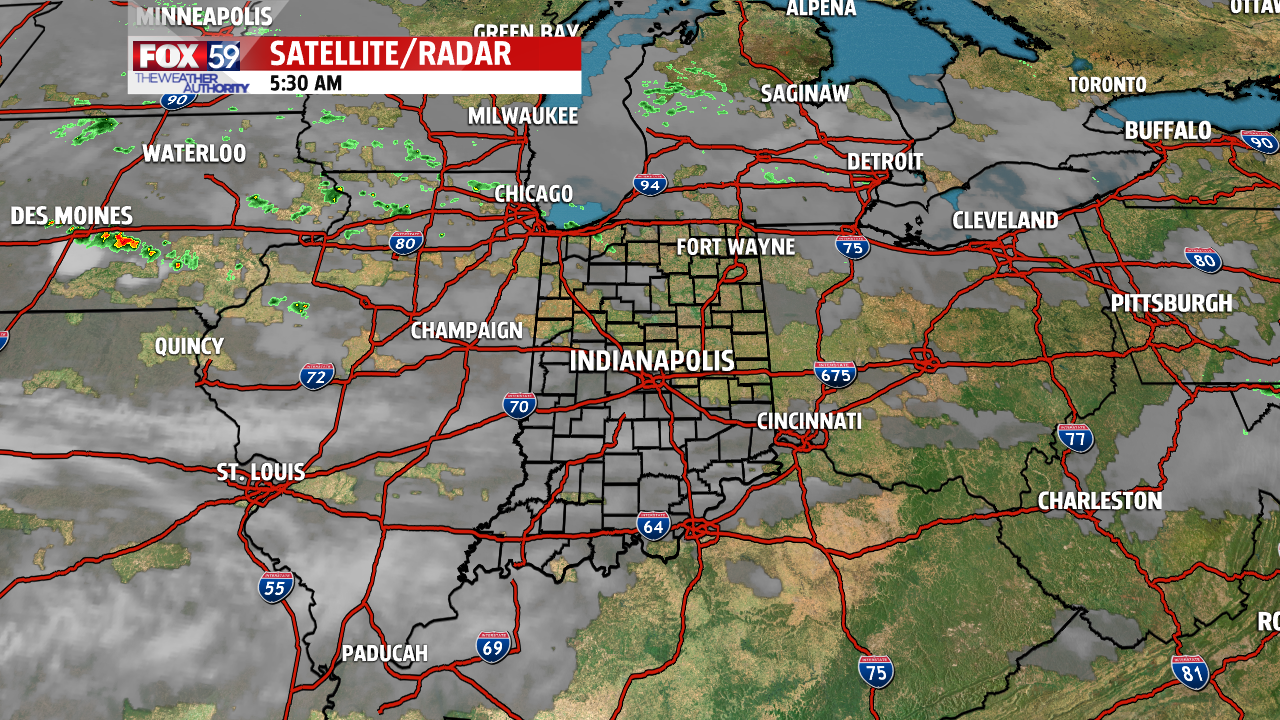
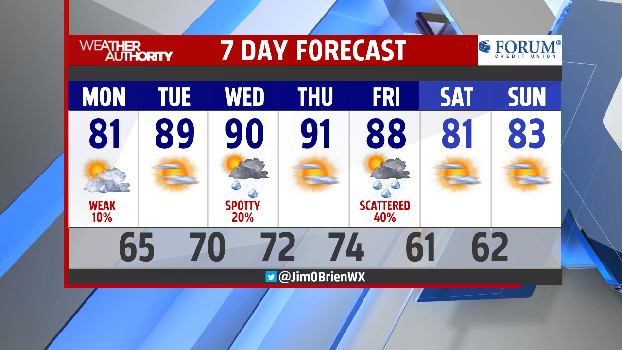
A dry start this morning under partly cloudy skies with only a touch of haze. The morning rush hour should remain uneventful, minus the road construction and closures. This afternoon, expect a mix of sun and clouds, plus a southeasterly wind which should help to move our temperatures into the lower 80s. Shower chances remain VERY limited for today and whatever falls should be mainly north of downtown.


Skies clear tonight and the heat begins to build on Tuesday. Near 90° heat returns tomorrow, the hottest in nearly 3 weeks (August 19th)! This will mark the beginning of a 4-day hot stretch before storms and a cold front drop in on Friday afternoon.
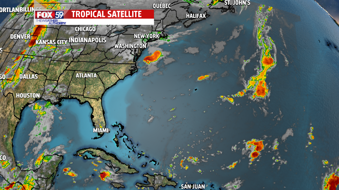
The tropics have settled for now with nothing threatening the US mainland at this time! The peak of hurricane season is this week and runs through late October. Dorian is gone but its mark will forever be felt in the Bahamas…